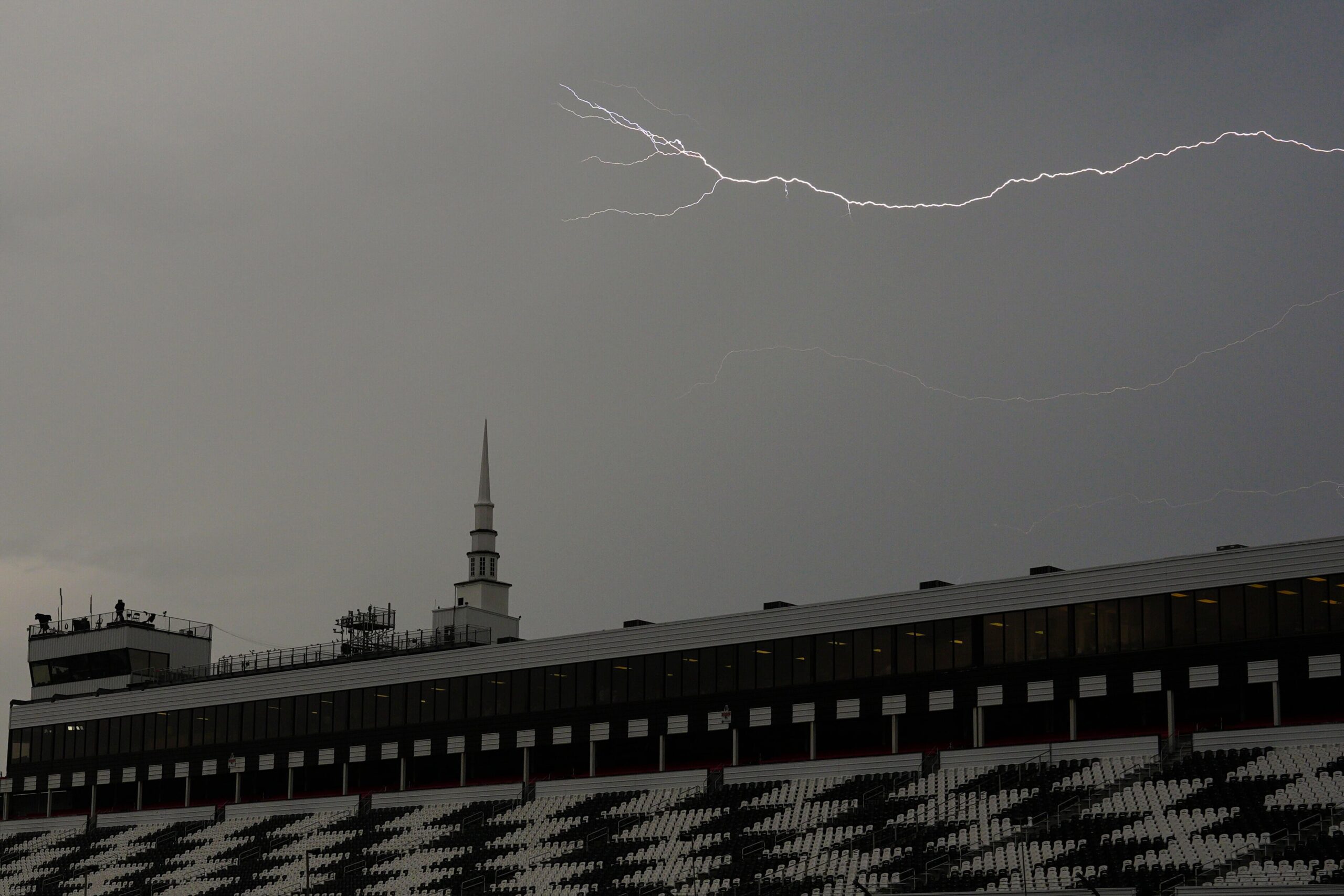
Throughout the weekend, residents of central Pennsylvania may anticipate an unpredictable weather pattern that includes sporadic showers and thunderstorms, as well as the possibility of downpours.
It will be humid and the temperatures will largely stay at a seasonably high level.
Although temperatures will be much lower than they have been this week, isolated showers are predicted to form throughout the humid afternoon today. It is predicted that the high temperature in the Harrisburg region will reach 73 degrees.
Showers and thunderstorms are more likely to occur on Saturday, especially in the afternoon and evening. With a high of about 90 degrees in the Harrisburg region, the heat will return.
The weather forecast for Sunday is marginally better, with less than 40% chance of precipitation. It will be hot and sunny for the majority of the day.
Monday through Tuesday will probably see more widespread shower and thunderstorm activity due to an impending cold front.
Current weather radar

Weather reports
-
Flash flood warning issued for Lancaster County because of storms
-
Power outages anger central Pa. state senator: It s pure insanity
-
Flash flood watch and severe thunderstorms threaten central Pa.
-
Flood watch in place for parts of central Pa. because of impending storms
This story’s first draft was created by generative AI and then modified and vetted by PennLive.com personnel.